Description
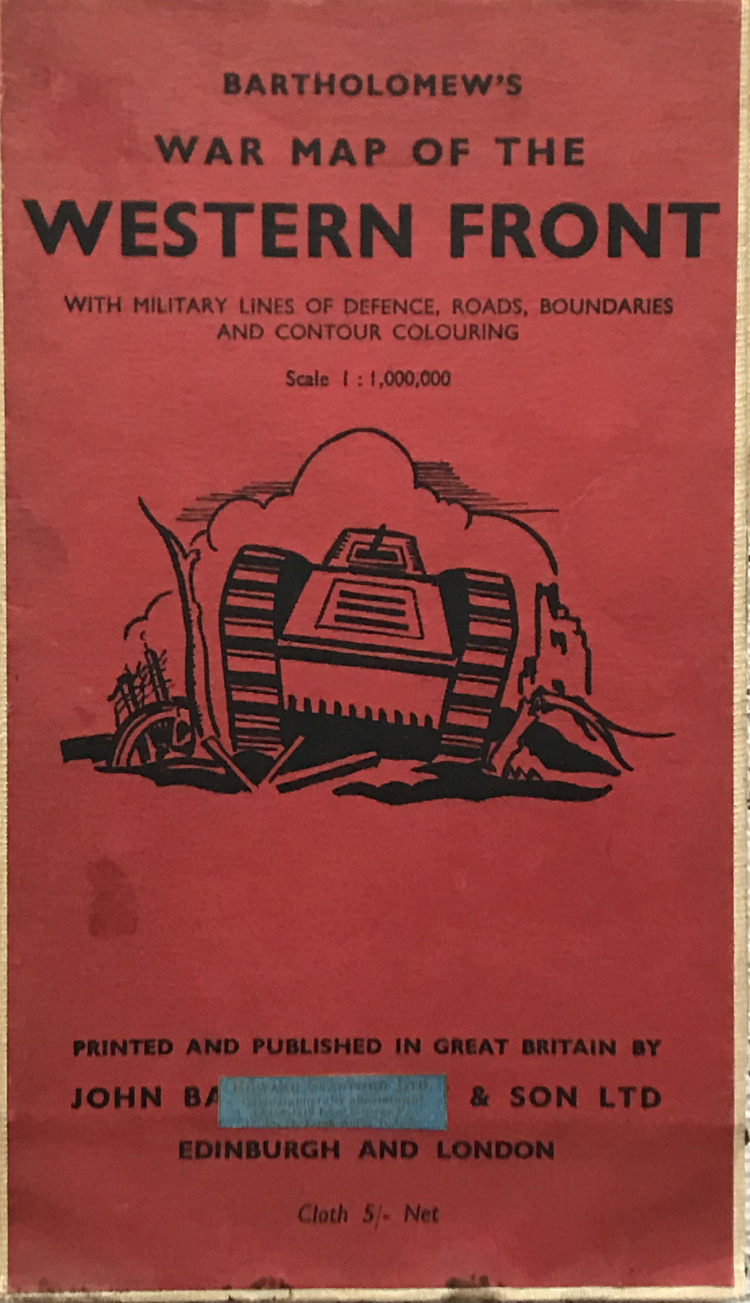
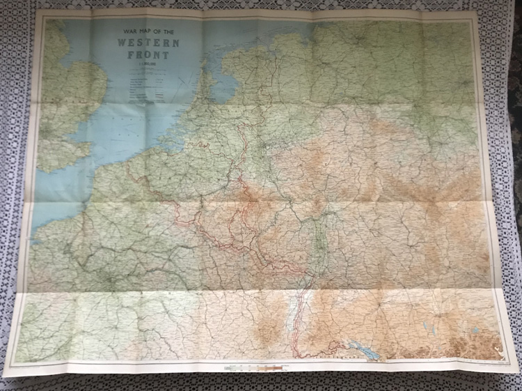
Bartholomew’s War Map of the Western Front with Military Lines of Defence, Roads, Boundaries and Contour Colouring
Publisher: John Bartholemew & Sons Ltd, 1939
This rare item is a Bartholemew’s map of the Western Front showing military lines of defence, roads and boundaries, with contour colouring.
Condition:
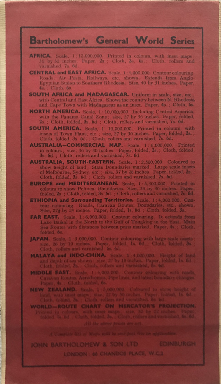
The card covers (a darker red than in the photos) are in very good condition, with a few marks to the bottom and a cartographer’s label to the front.

