Description
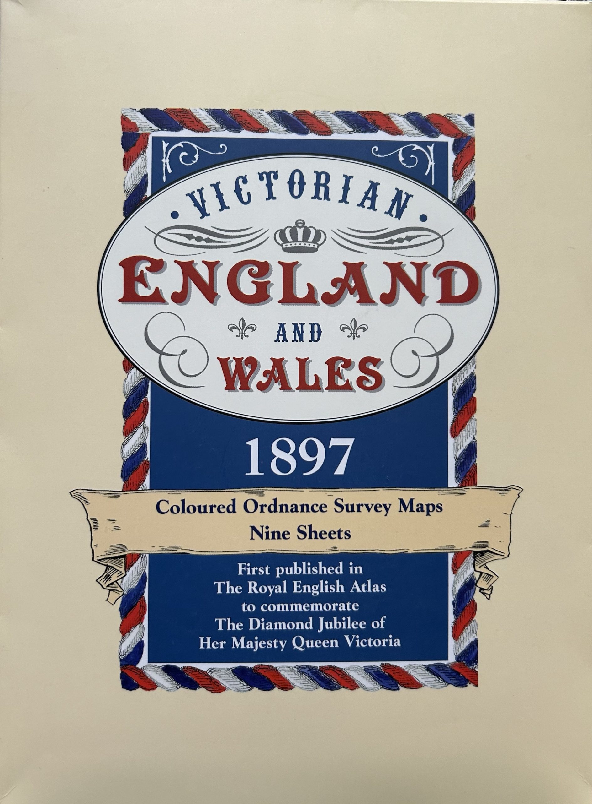
Victorian England and Wales 1897: Coloured Ordnance Survey Maps – 9 Sheets
- Publisher: Old House Books, 2005
- ISBN: 9781873590409
- Boxed set of 9 maps
The “Victorian England and Wales 1897: Coloured Ordnance Survey Maps – 9 Sheets” is a boxed collection of detailed maps depicting England and Wales during the Victorian era. Created by the Ordnance Survey, these maps offer colored illustrations and precise geographical details of various regions across the countries.
Condition:
The box is in very good condition, clean and bright, with only very minor imperfections. The 9 maps are in softcover slipcases and in fine condition. A great buy.


